Infrastructure inspection, surveyed completely and reported the way engineers already work.
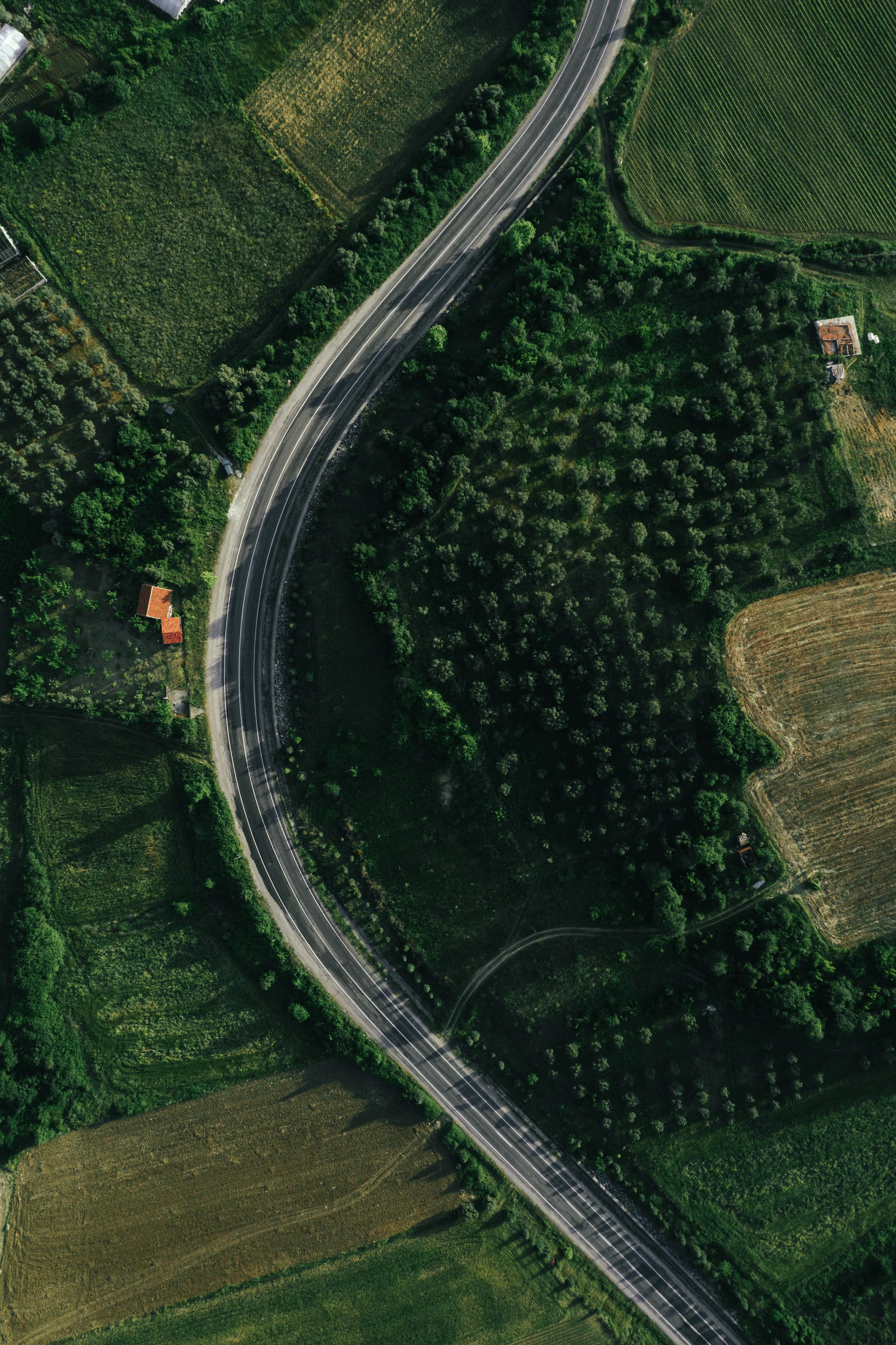
An autonomous drone survey and AI defect-detection platform for infrastructure inspection — starting with roads.
Autonomous Survey
A drone flies the corridor on a planned mission — complete coverage, not a sampled walk-through.
AI-Based Defect Detection
Every image is examined by a model trained to recognize pavement and structural defects.
Standards-Aligned Reporting
Output delivered in the rating language and chainage format engineers already use — nothing new to learn.